

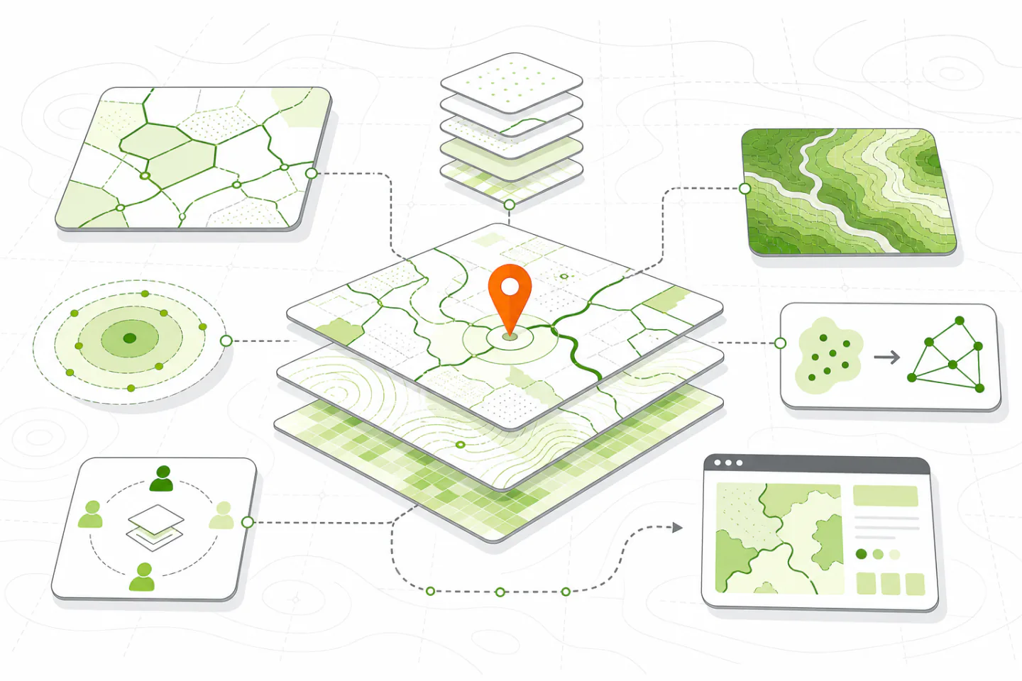
The best mapping software is the one that handles your real data, supports the decisions you need to make and produces outputs your audience can use. A simple browser map may be enough for sharing locations. Editing boundaries, analysing terrain or managing authoritative records usually requires a fuller geographic information system. Start with the work, not a feature list.
This guide explains how to define that work, compare the main types of mapping software and test a shortlist. The same process applies to printed maps, field records, service coverage and interactive maps.
Define the Mapping Job First
Write down the decision the map must support. “Show our sites” is too vague. “Let staff find the nearest approved site and see its opening status” identifies the audience, the data and the required interaction. A planning task might instead require accurate area measurements, several regulatory layers and a printable record of the analysis.
Separate the people who prepare data from those who consume the result. Analysts may need editing, projection controls and repeatable processing. Viewers may only need search, clear symbols and an accessible legend. Field staff may need offline access, structured forms and a dependable synchronisation process.
Turn the job into a short list of outputs:
- A static map for a report or notice
- An interactive map for public or internal viewing
- An editable dataset maintained by several people
- A repeatable spatial analysis with recorded inputs
- A mobile form linked to a known location or asset
These outputs reveal which capabilities are essential and expose missing controls, awkward exports or unsuitable data handling.
Choose the Right Type of Tool
Desktop Mapping Software
Desktop software suits detailed editing, spatial analysis and print cartography. It can work with local files, databases and remote services, and it usually exposes more control over coordinate systems, labels and processing settings than a browser tool. It is a sound choice when analysts handle large datasets, complex geometry or sensitive material that should not be uploaded to a hosted service.
The trade-off is a steeper learning curve and more responsibility for project structure, backups and updates. Check whether projects remain usable when files move and whether processing steps can be repeated.
Browser-Based Mapping
Browser tools are useful for rapid publication, shared viewing and straightforward editing. They reduce installation work and can give dispersed teams a common version of a map. Their limits often appear in advanced analysis, precise cartography, bulk editing and control over storage or service changes.
Confirm what happens when a subscription ends or a service changes. You should be able to export both the data and the information needed to interpret it. A broad review of mapping software comparisons can help identify categories, but your own workflow should determine the shortlist.
Mobile and Self-Hosted Systems
Mobile collection software is designed for inspections, surveys and asset updates away from a desk. Useful controls include required fields, pick lists, timestamps, photographs, offline maps and conflict handling. Test the complete journey from downloading an assignment to reviewing the submitted record in the office.
A self-hosted system offers greater control over storage, access and publication, but it transfers operational work to your team. Someone must maintain the server, apply security updates, monitor failures and test backups. Choose this route only when the control is valuable and the maintenance responsibility has a clear owner.
Check Data Compatibility
List every input and output used in a normal month. Include vector layers, raster imagery, spreadsheets, database tables, scanned plans, web services and printed layouts. Test the actual files rather than relying on a statement that the software supports “common formats”.
Import a sample containing long field names, non-English text, empty values, dates and complex shapes. Confirm that attributes, geometry and text survive a round trip through import, editing and export. Check whether the software preserves coordinate reference information instead of silently assigning a default.
Interoperability matters when several tools share the work. Prefer open, documented formats and services where practical. Avoid a process that can only be completed inside one account or exported as a flattened picture. Reviews of GIS software for vector, raster, cartographic, and remote-sensing workflows can broaden a test list, but direct file testing remains the stronger evidence.
Match Analysis to the Decision
Do not pay for a long catalogue of spatial functions without identifying those you will use. Common needs include selecting features by location, measuring distance or area, joining records to boundaries, finding overlap, building service areas and summarising values within a region.
For each required operation, check four things: the inputs are accepted without manual conversion; the parameters are understandable; the result can be checked; and the process can be repeated. A result is difficult to defend if the operator cannot show which source layers, settings and dates produced it.
Raster work needs separate testing. Elevation, aerial imagery and classified surfaces can require substantial memory and storage. Use a representative file to assess display speed, processing time, temporary disk use and export size. A smooth demonstration with a small sample says little about a demanding production dataset.
Protect Accuracy and Meaning
A polished map can still be wrong. Verify the coordinate reference system before measuring, combining or publishing layers. Assigning a system labels existing coordinates; reprojecting creates coordinates in another system. Confusing the two can shift data or produce misleading measurements.
Record the source, owner, licence, publication date, update schedule and known limitations of each important layer. Basemaps provide context, not automatic authority. Property, infrastructure and regulated boundaries should come from the body responsible for maintaining them, with any uncertainty stated in the finished map.
Good cartography also protects meaning. Use a clear visual hierarchy, restrained colour, readable labels and a legend that includes only visible classes. Inspect exports at their final size. Check for clipped labels, weak contrast, unclear units and missing attribution. An overview of map-making software options and use cases may suggest output types to test.
Review Collaboration, Security and Integration
Map sharing is not the same as controlled collaboration. Decide who may view, edit, approve and publish each layer. Look for role-based permissions, an edit history and a way to restore an earlier version. Test whether a public sharing link can accidentally expose private layers, attachments or attribute fields.
Sensitive location data needs the same care as other operational records. Check authentication, account removal, encryption, storage location, audit records and backup arrangements. Collect only the fields needed for the task, and avoid placing confidential values in labels, pop-ups or downloadable layers.
If the map connects to another system, define the authoritative source for each field. Use stable record identifiers rather than matching on names or addresses alone. Test failed imports, duplicate records, delayed updates and permission conflicts. Staff should know whether edits flow in one direction or both and how errors are reported.
Calculate the Full Cost
Licence cost is only one part of the decision. Include data preparation, training, migration, storage, support, server work, extensions and administration. Usage-based charges can vary with map views, geocoding, routing, storage or data transfer, so model a quiet month and a busy one.
Ask what can be exported, in which formats and by whom. Confirm how accounts are removed and how long an orderly exit would take. Do not assume that a free tool has no cost or that a subscription includes every required capability. Compare the total effort needed to operate each option for the expected life of the workflow.
Run a Realistic Pilot
Choose one contained task that includes the hardest normal conditions. Use representative data volumes, awkward records, realistic permissions and the intended output. Include at least one person who prepares the data and one who uses the finished map.
During the pilot, record whether the team can:
- Import data without losing fields, geometry or reference information.
- Complete the required analysis and explain the settings used.
- Produce a readable, correctly attributed output.
- Share or edit the result without exposing restricted information.
- Export the data in a reusable form and restore it from backup.
Score only requirements agreed before testing. Note workarounds and who would maintain them. A minor inconvenience repeated every day may matter more than an advanced feature used once a year.
Make the Final Choice
Reject any option that fails a must-have requirement, even if it performs well elsewhere. Among the remaining choices, prefer the simplest system that preserves data quality, supports repeatable work and can be maintained by the available team. Document the decision, the tested version, known limits, ownership and a review date. That record makes later changes easier to assess and keeps the choice tied to the mapping job it was meant to solve.